Trump’s Maps and the Politics of Distortion
Key Takeaways
- •The Equal Earth projection represents Africa and other regions more proportionately than the Mercator projection.
- •The UN resolution recommends that institutions consider using Equal Earth but does not prohibit any existing map projection.
- •The United States was the sole country to reject the resolution, while 164 countries supported it.
- •Trump’s map post drew an angry response from Denmark and Iceland, and Iceland summoned the U.S. ambassador.
- •The article links Mercator’s enlargement of Greenland to perceptions surrounding Trump’s interest in the territory.
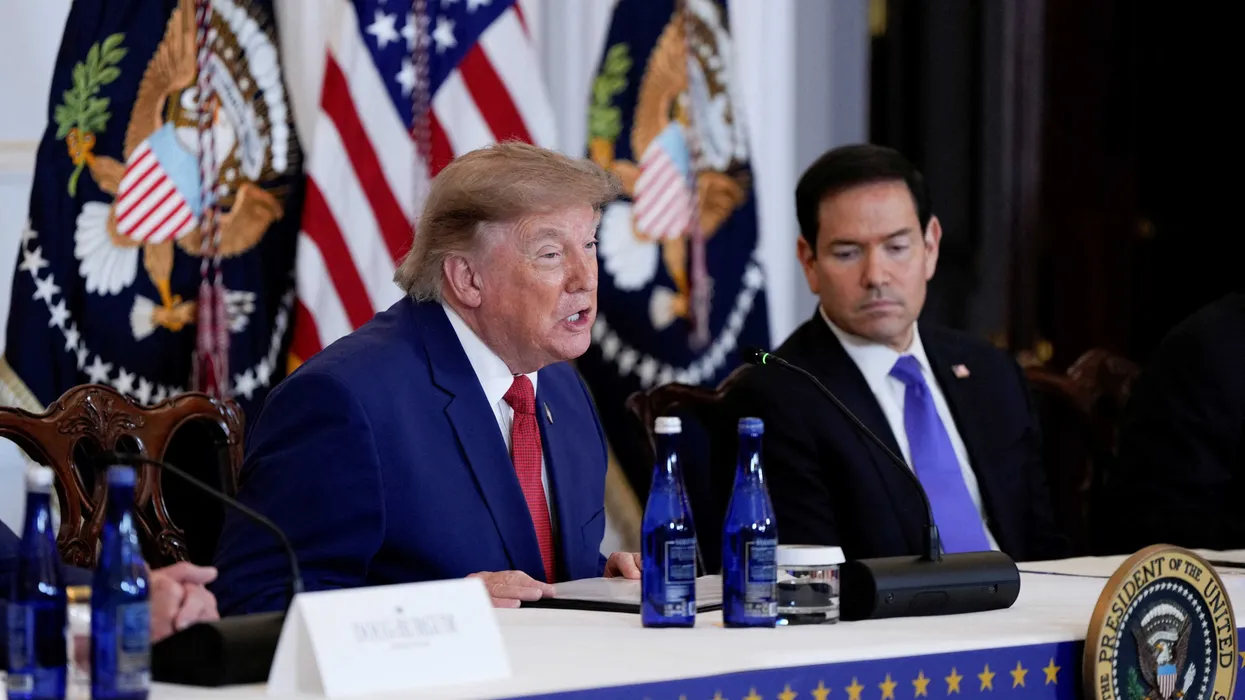
On Monday, September 7, U.S. President Donald Trump posted a fictional “map” on Truth Social depicting Canada, Greenland, Iceland, Mexico, Central America and the Caribbean as part of the “United States of America.” The post prompted an angry reaction from Denmark and Iceland. At the same time, a separate dispute over how the world is represented on maps unfolded at the United Nations General Assembly, where the United States was the only country to vote against a related resolution.
The “Correct the Map” resolution concerned the Mercator projection, which, according to Bloomberg News, “makes Africa and other parts of the Global South appear smaller than they are, while Europe and other northern regions appear larger.” The resolution approved the Equal Earth projection, which shows Africa at its true size relative to other regions.
In a September 11 Bloomberg column, opinion writer Andreas Kluth, whose work focuses heavily on national security and geopolitics, examined the debate. He explained why the United States opposed the measure and argued that the vote reflected broader elements of the Trump administration’s worldview.
“The African diplomats who drafted a recent resolution by the United Nations to ‘Correct the Map’ of the world made a tactical error when they oversold their bit of common sense with flamboyant claims to ‘cognitive justice and memorial reparation,’” Kluth wrote. “That kind of language, as they should have known, triggers Donald Trump and his MAGA followers. In the American president’s worldview, the wording and the resolution provided yet more proof of wokeness to be expunged at the lefty, globalist and risible UN. And so, the world had to behold another embarrassing spectacle this month: As 164 countries voted to pass the map resolution at the UN General Assembly, only one nation voted against: the United States.”
Kluth said Yaryna Ferencevych, an American diplomat, read out the U.S. government’s rationale. “While this initiative is presented as an anodyne effort to update cartographic proportions,” she said, “it cannot be separated from the much larger and more radical ideological project it belongs to.” Ferencevych criticized the resolution’s reference to cognitive justice, calling such measures “barnacles on our work here, and the reason this institution is losing its credibility.” She then urged all other countries to reject the text. None did.
The resolution, Kluth noted, “does not ban any type of map.” Instead, it “recommends that schools, universities, charities and other institutions consider replacing one of the traditional map types, called the Mercator projection, with a newer one, the Equal Earth projection.” The resolution is available through the United Nations.
Kluth wrote that Greenland is particularly distorted on the Mercator map: It appears to be 14 times larger than all of Africa, although it is smaller than Algeria. “That seems to be one reason for Trump’s obsession with Greenland and his threats to seize it from Denmark,” he wrote, adding that those threats have prompted “a mixture of horror and ridicule among American allies.”
“The Mercator distortion may also help explain why Trump, like other European and American statesmen for centuries, shows little interest in Africa, except when using it as a prop for his political memes,” Kluth wrote. “Many Africans, and others, assume he disdains their continent.”
Kluth also referred to Trump’s Truth Social post, saying the president “painted the Stars and Stripes on a map showing countries from Cuba and Mexico to Canada, Greenland and Iceland.” “Reykjavik, far from amused, summoned the U.S. ambassador,” he wrote. On another map, Trump labeled the Strait of Hormuz as a “New U.S. Territory.”
“All this implies more than mere confusion or ignorance,” Kluth concluded. “It suggests — let’s use Yaryna Ferencevyc’s phrase — a much larger and more radical ideological project: Nothing intellectual, mind you — just a brutish sense that maps had better show the world the way Trump likes to imagine it … It’s not that leaders who wield coercive power use maps to shape their understanding of the world. It’s that they start using their worldview to shape the maps.”
Source: Alternet.