BAM Weather Forecasts One of the Strongest El Niño Events on Record, Threatening Fall Harvest Windows
Key Takeaways
- •BAM Weather meteorologist Brett Walts says a strengthening El Niño could limit fall harvest windows across the U.S. Corn Belt.
- •Wet fields during harvest can slow combine progress, raise grain moisture levels, and increase risks of crop quality issues and field losses for corn and soybean growers.
- •Wetter conditions are expected in the southern U.S. from October into November, prompting advice for farmers to start fieldwork as early as possible.
- •The current El Niño is expected to be one of the strongest on record, comparable to the 2015-16 and 1997-98 events.
- •El Niño is driven by warmer-than-average Pacific sea surface temperatures, recurs every two to seven years, and typically brings wetter conditions to the southern U.S. and warmer temperatures to northern regions.
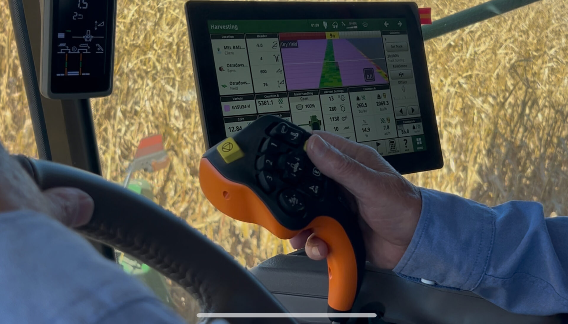
A senior meteorologist at BAM Weather says a strengthening El Niño weather pattern could limit harvest windows this fall across the U.S. Corn Belt.
Brett Walts says parts of the Corn Belt that saw excess rainfall this summer could continue to face wetter conditions as the harvest season unfolds. Wet fields during harvest can slow combine progress, raise grain moisture levels, and raise the risk of crop quality issues and field losses for corn and soybean growers.
"It ended up being a battle between drought conditions and the developing El Niño conditions," he says. "The western and southern U.S. drought helped amplify some of the heat and ultimately helped shove some of more intense storm clusters further north."
Speaking during a recent webinar, Walts said harvest conditions could become more challenging as the season progresses.
"As we get further into October, the southern U.S. will start to trend a bit wetter," he says. "As we roll into November, there's potential for more moisture as we get later into the season. The earlier you can get going in the field, the better off you're going to be."
Walts says the current event is expected to be one of the strongest El Niño systems ever recorded. Strong El Niño events have historically shifted North American weather patterns, with the 2015-16 and 1997-98 events among the strongest on record.
El Niño is a climate pattern driven by warmer-than-average sea surface temperatures in the central and eastern tropical Pacific Ocean. It occurs on average every two to seven years and typically influences weather across North America, often bringing wetter conditions to the southern United States and warmer temperatures to northern regions during fall and winter months. For farmers, that pattern makes timing a key variable this fall, and how quickly harvest progresses across major corn- and soybean-producing states will be worth watching as the season unfolds.
The article was reported by Erin Anderson for Brownfield Ag News and published on September 4, 2026.
Source: Brownfield Ag News
